
Veterinary teams need tools that keep working when the signal doesn’t.
FieldSight
FieldSight is an offline-first field operations hub for veterinary service technicians, built to plan routes, manage clinic relationships, and complete service work without slowing down when the internet disappears. It brings clinic locations, equipment inventories, and service history into one place so techs can quickly decide where to go next, what to prioritize, and how to structure a day with minimal driving and maximum throughput.
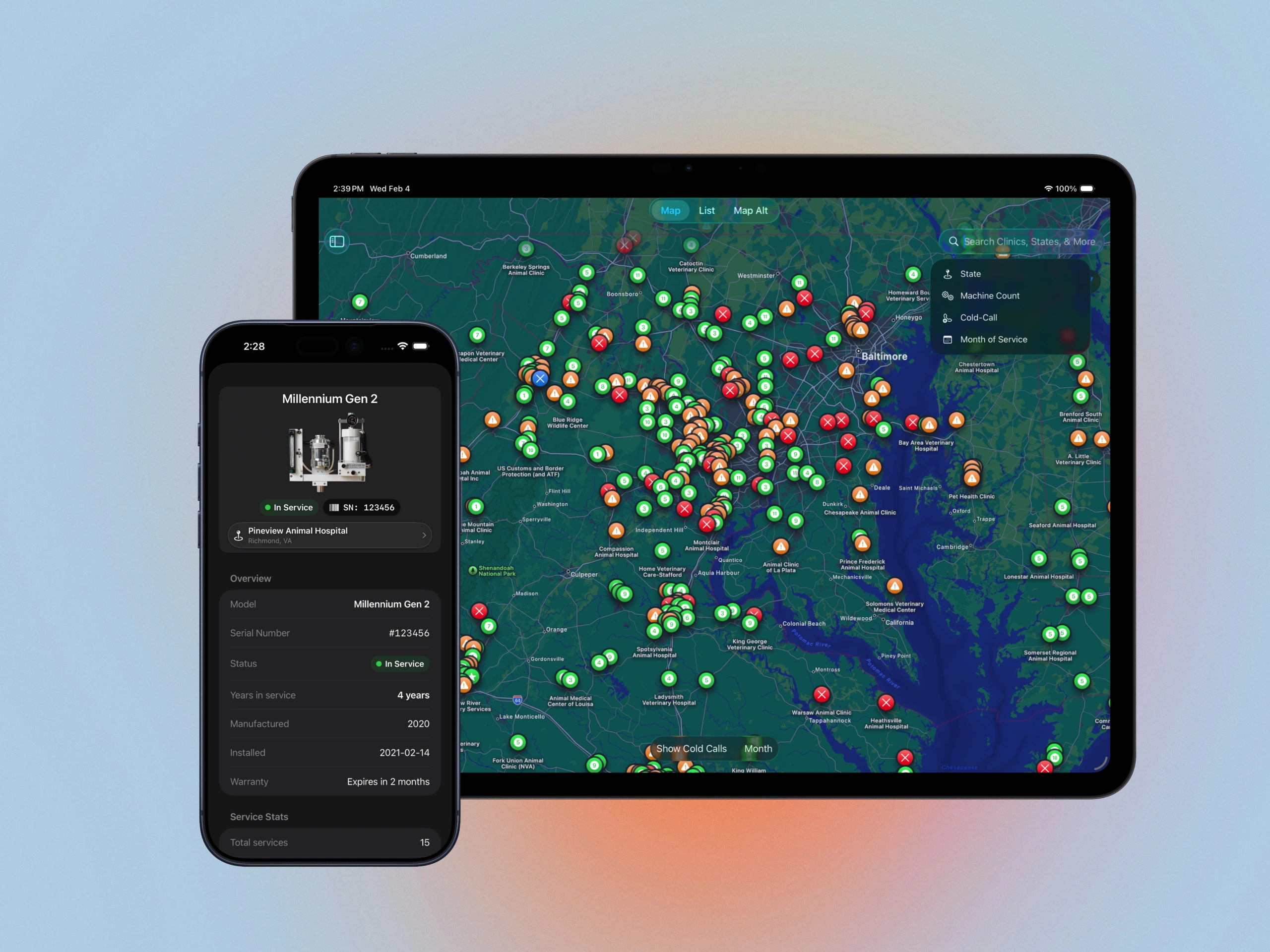
The map is a planning tool, not just navigation. Technicians can cluster nearby clinics into efficient runs, then use cold-call mode to fill schedule gaps with unserviced locations. Because everything is available offline, FieldSight stays useful in rural areas, basements, and back rooms.
Where FieldSight accelerates workflows is how it filters operational detail. Clinics carry equipment and service metadata, so technicians can query what matters: clinics with 13+ anesthesia machines, locations last serviced in specific months, or what is overdue based on last visit dates.
FieldSight also keeps team visibility current. When a technician services a clinic, the app can use location context to mark visit dates and update service history, reducing duplicate effort and missed follow-ups.